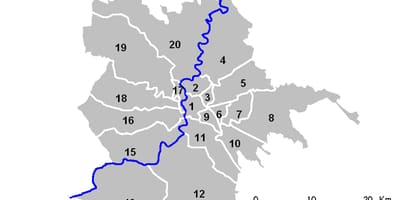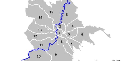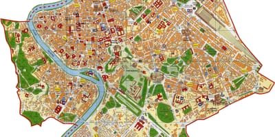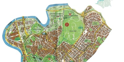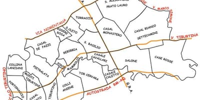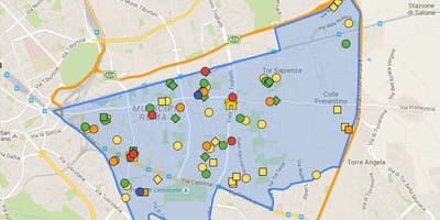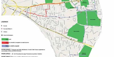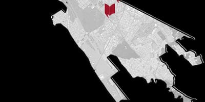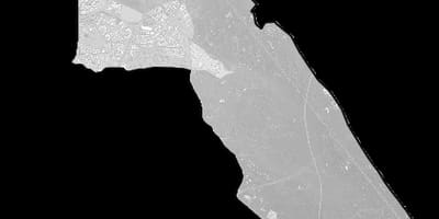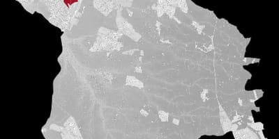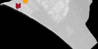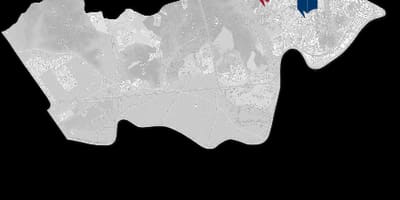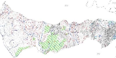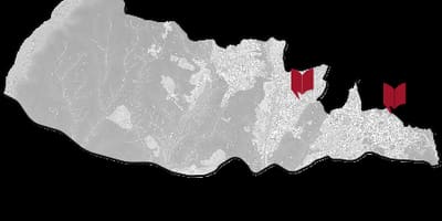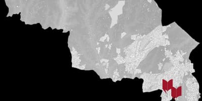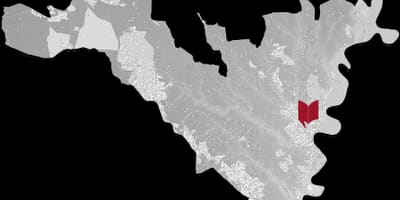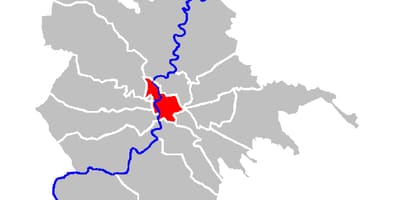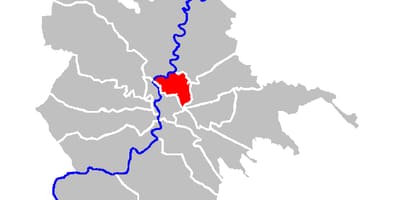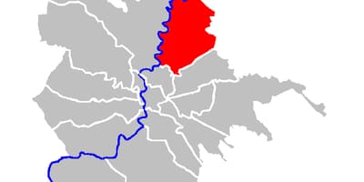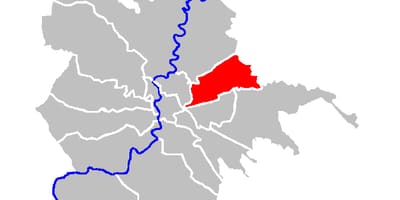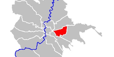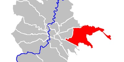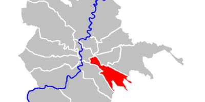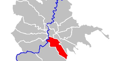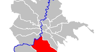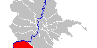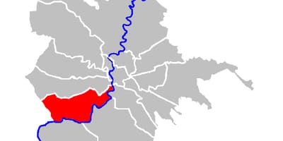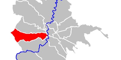
Rome is divided into municipi, the administrative districts that replaced the old circoscrizioni. This section has overview maps, local plans and locator maps for each one.
Until March 2013 Rome had nineteen municipi, numbered from I to XX with XIV missing, because the old XIV was lost when Fiumicino became an independent municipality in 1992. On 11 March 2013 the city council merged them into fifteen larger municipi, numbered I to XV. This page shows both generations of maps, which makes it easier to compare a present-day address with older documents.
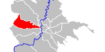
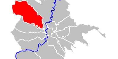
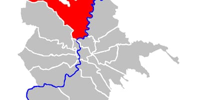
Municipio I covers the historic centre and has the most detailed street plan, in Italian. For the other municipi there are two kinds of sheet: a grey outline marked with the public libraries listed by Biblioteche di Roma, and a locator map in which the municipio is coloured red against the whole city, with the Tiber in blue and a scale bar.
Each municipio carries a descriptive name taken from the area it covers, for example Parioli-Nomentano, Appia Antica, EUR or Monte Verde. Some maps use older labels: the sheet titled Tor Bella Monaca, for instance, refers to Municipio VI, which is officially called Roma delle Torri today. When a name and a number seem to disagree, trust the number and the shape on the map.