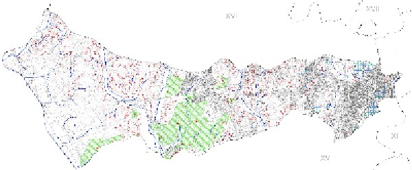
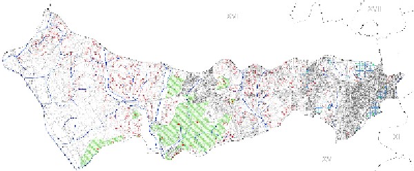
A fine-line street map of an east-west municipio, with the neighbouring districts XVI, XV, XVIII and XI named on its edges.
A thin-lined street map of an elongated municipio stretching from west to east, with a large green hatched area near its centre and the neighbouring municipi XI, XV, XVI and XVIII named around the edges. The map carries no library markers, and the neighbours' numbers belong to the pre-2013 numbering.