Surface transport in Rome ranges from regular ATAC lines to tourist circuits. These maps gather sightseeing buses, night services, suburban routes and the trolleybus.
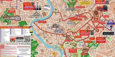
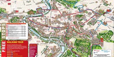
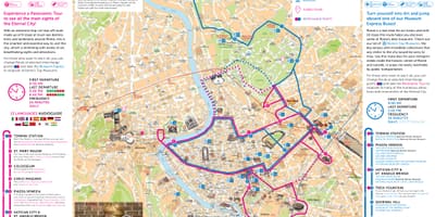
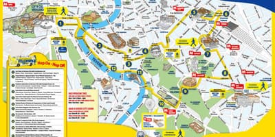
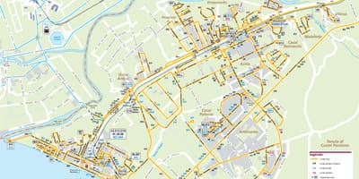
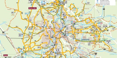
The metro has only three lines, so buses reach most of the districts that it does not. ATAC, the municipal operator, runs the ordinary network, and the plans here include maps of the suburban routes and of the coastal lines to Ostia and Lido di Ostia. Several hop-on hop-off tourist circuits also loop around the main monuments, usually passing through Termini and drawn on illustrated maps.
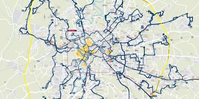
Night lines carry an n prefix and take over when the metro stops running; ATAC's night services replace metro lines A, B/B1 and C with the NMA, NMB, NMB1 and NMC routes. The night map shows the lines radiating from the centre, enlarged in its own frame, out towards the Grande Raccordo Anulare, the motorway ring that circles the city.
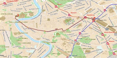
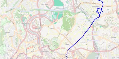
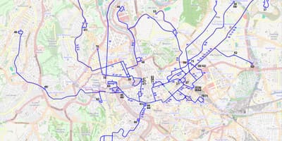
Rome also has trolleybuses. Line 90 Express, run by ATAC, has linked Termini with the north-eastern suburbs since 2005 and is one of three trolleybus routes the operator runs today. A second map reconstructs the much wider trolleybus network of 1965 over a modern street plan, a useful reminder of how the overhead wires once reached into many more districts.