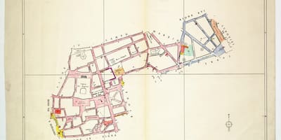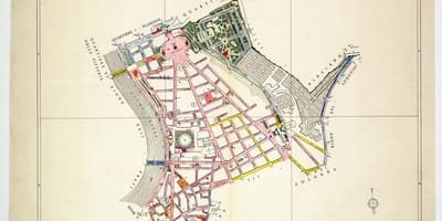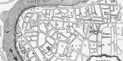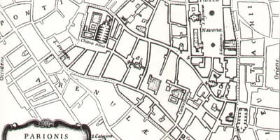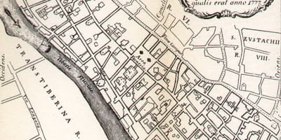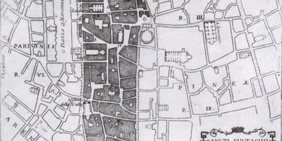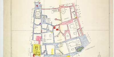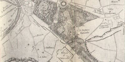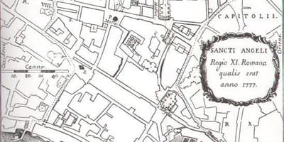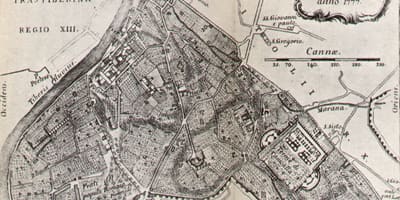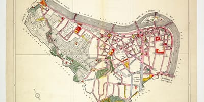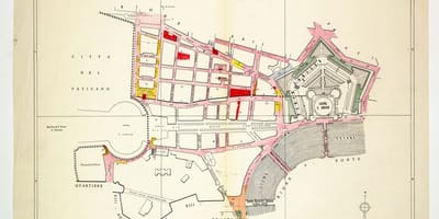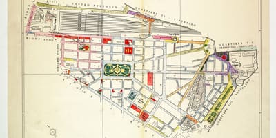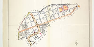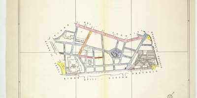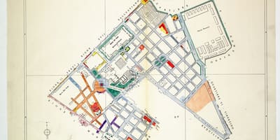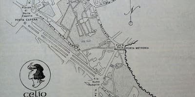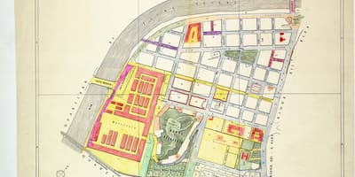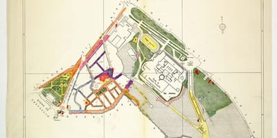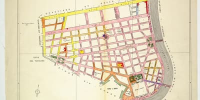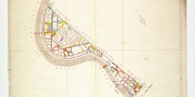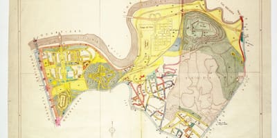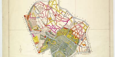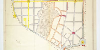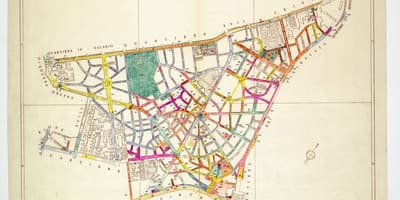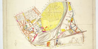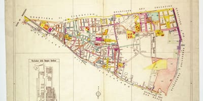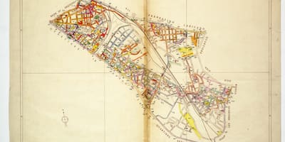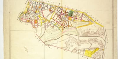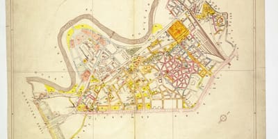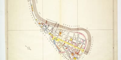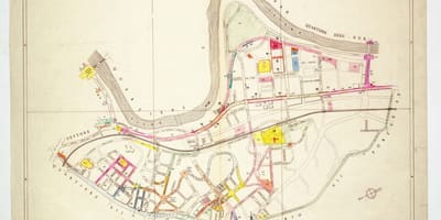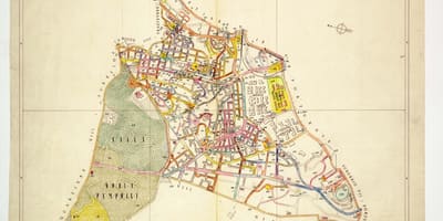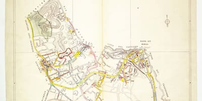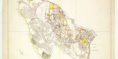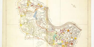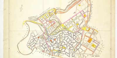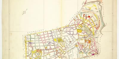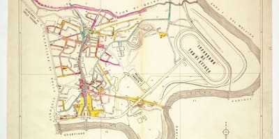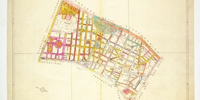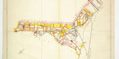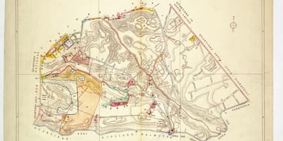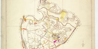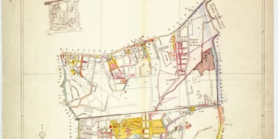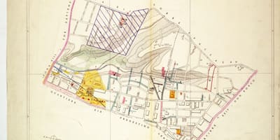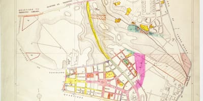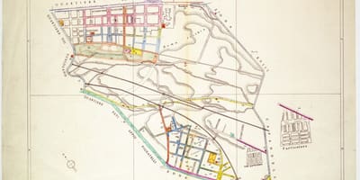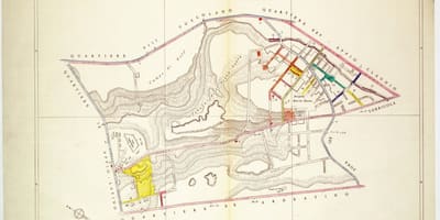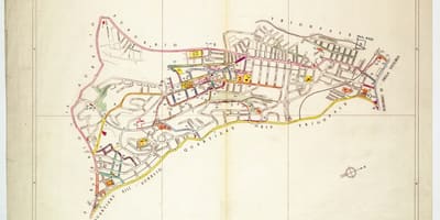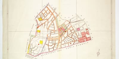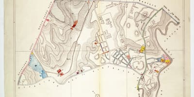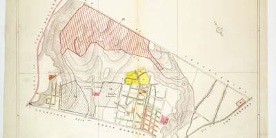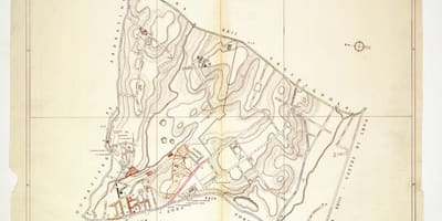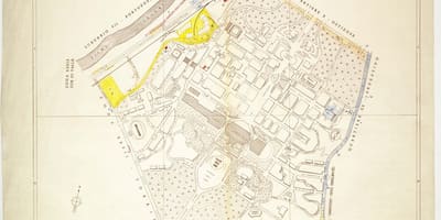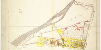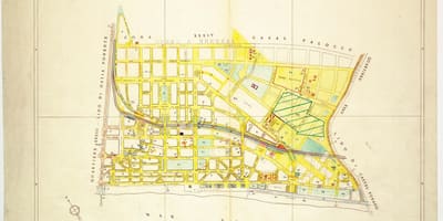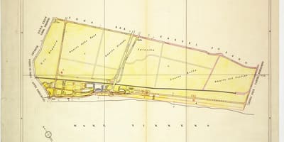
Rome's districts are shown here as overview maps and as plate-by-plate plans, from the historic rioni to the outer quartieri.
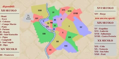
Rome's old centre is divided into rioni, historic districts of medieval origin. Thirteen existed in the Middle Ages, packed mostly into the bend of the Tiber, and Pope Sixtus V added Borgo in 1586 as the fourteenth. In 1744 Benedict XIV had the system reorganised, and marble plates fixed to house façades marked the limits of each rione; many of them can still be seen on the streets today.
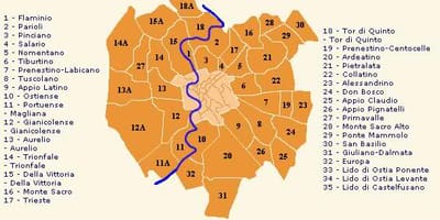
The system expanded in the twentieth century. By 1921 the number of rioni had risen to twenty-two, with Prati the last to be created, so the later ones, from XV onwards, cover ground beyond the original core. Around them lie the quartieri, thirty-five in all and numbered 1 to 35 on the overview map, which describe the growth of the city beyond the historic centre.
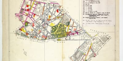
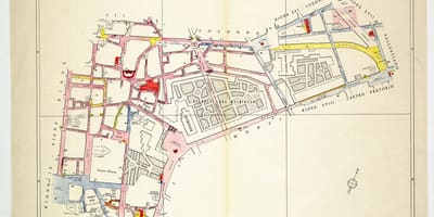
The plans collected here include two overview maps in Italian, a few engraved plates of 1776 and 1777 with Latin captions, and a long series of coloured plates marked with numbered streets. Each plate deals with a single rione or quartiere, which makes it practical to locate a street within its district and to see how neighbouring areas join together.