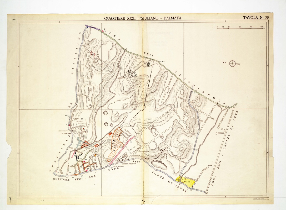
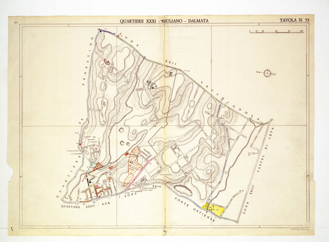
Quartiere XXXI Giuliano-Dalmata on Tavola 53, a triangle of hill country with a dotted boundary line and small settlements in the southwest.
Source: Old map, public domain
A dotted black line loops through the heart of the plate, and orange-hatched parcels sit near the lower left beside the small streets of the settlement. Yellow plots at the bottom lie next to the zone called Fonte Ostiense, and the paper is missing a piece at the left edge.