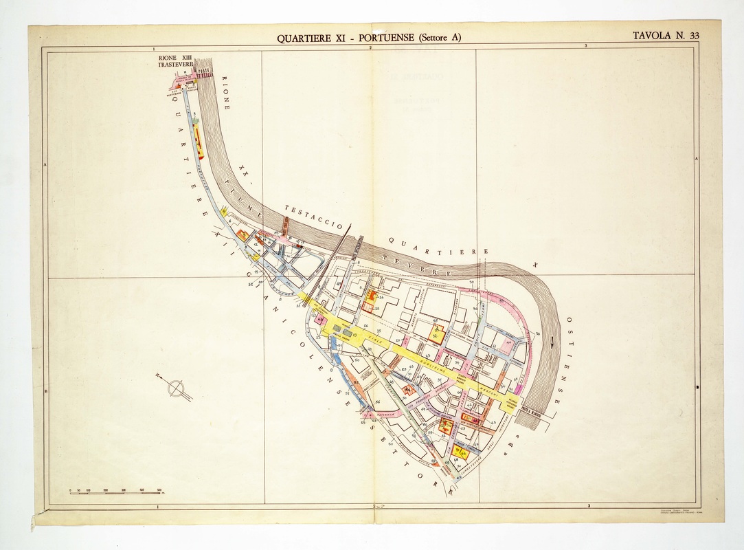
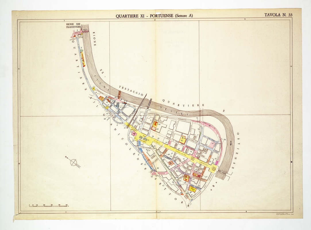
Quartiere XI Portuense, sector A, on Tavola 33, where Viale Guglielmo Marconi crosses the plate in yellow towards a bridge over the Tiber.
Source: Old map, public domain
The upper left corner begins at Porta Portese near Trastevere, then Via Portuense follows the river bank. A broad yellow avenue, Viale Guglielmo Marconi, slices diagonally through blocks drawn as outlined plots and ends at a bridge on the right.