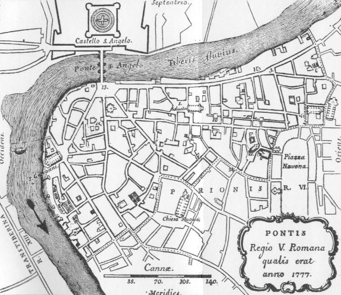
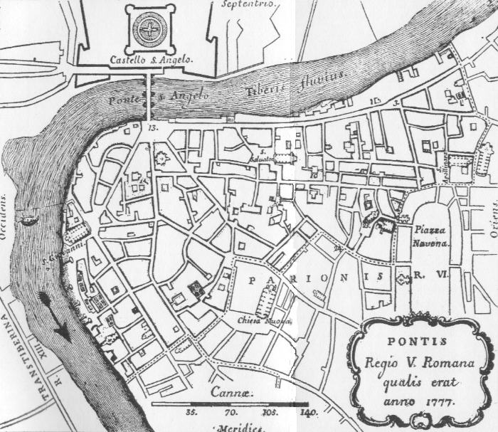
Regio V Ponte as drawn in 1777, with Castello S. Angelo at the top, the Tiber bend on the left and Piazza Navona at the right edge.
Source: Old map, public domain
A Latin cartouche reads 'Pontis, Regio V Romana qualis erat anno 1777'. Along the top, Castello S. Angelo and Ponte S. Angelo cross the river, while Chiesa Nuova and the edge of Piazza Navona show the border with Parione. A scale in cannae runs along the bottom.