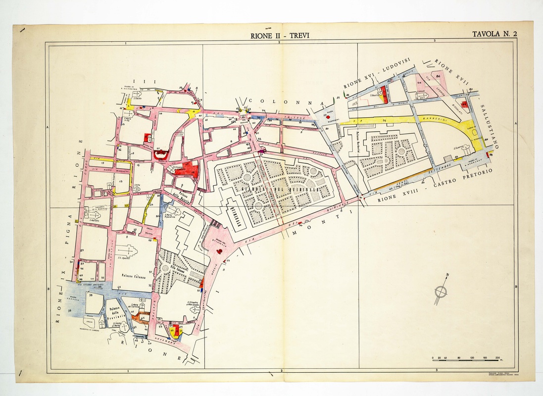
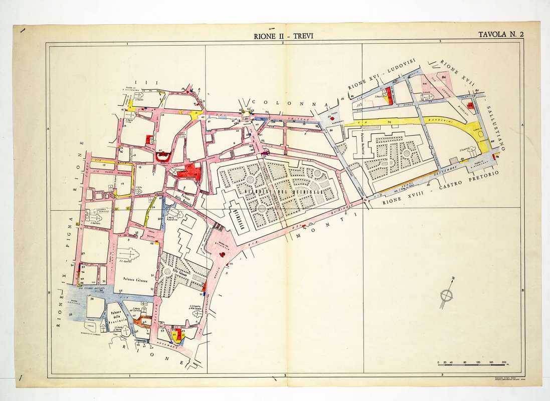
Rione II Trevi on Tavola 2, stretching from the Via del Corso side across the Quirinale gardens to Palazzo Barberini and Via XX Settembre.
Source: Old map, public domain
Pink and blue street edging runs around the Giardini del Quirinale, whose formal beds fill the centre of the sheet. To the west the plate names Palazzo Colonna and the church of Santi Apostoli, and to the east it follows Via Barberini towards the Sallustiano and Ludovisi boundaries.