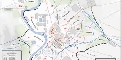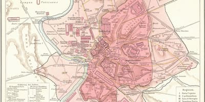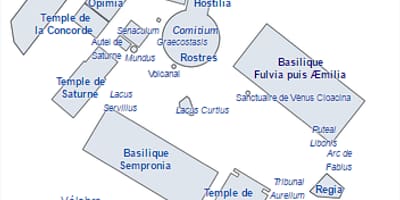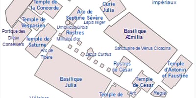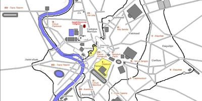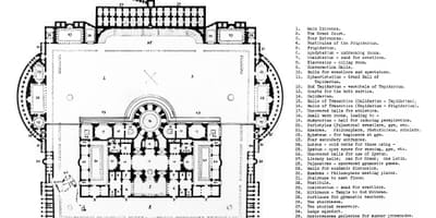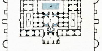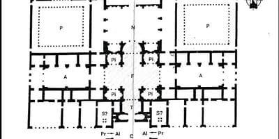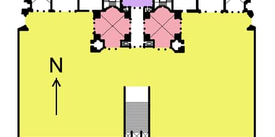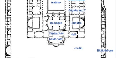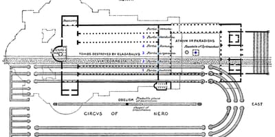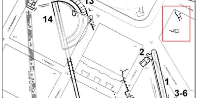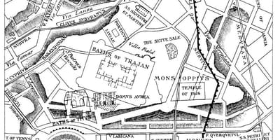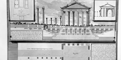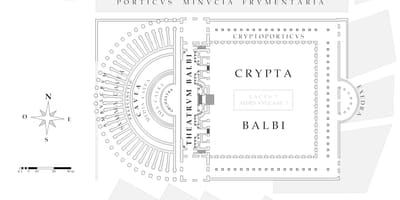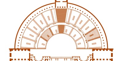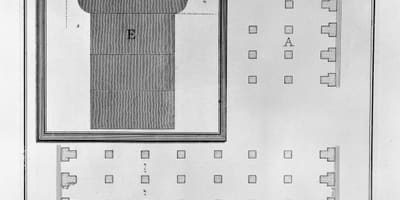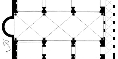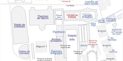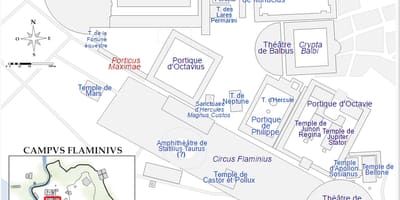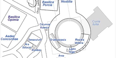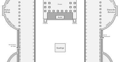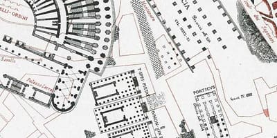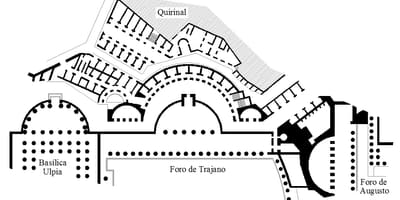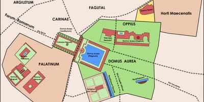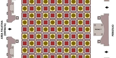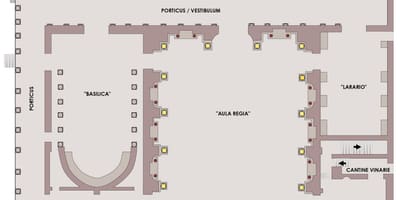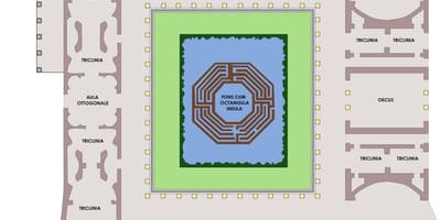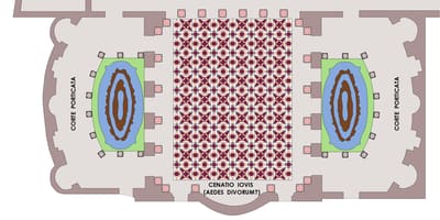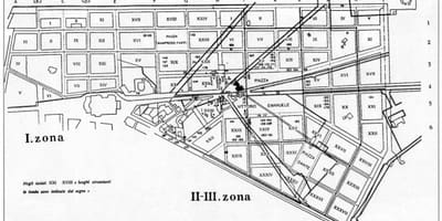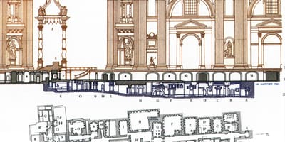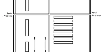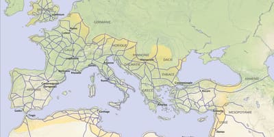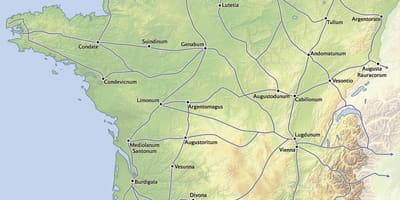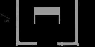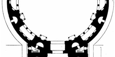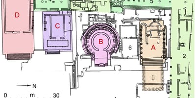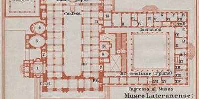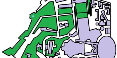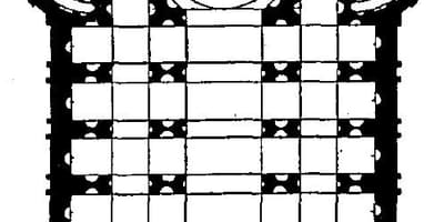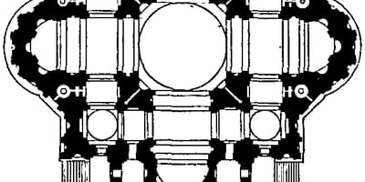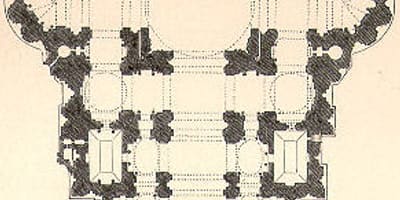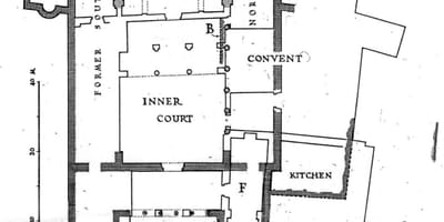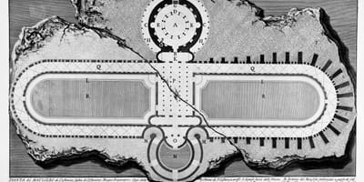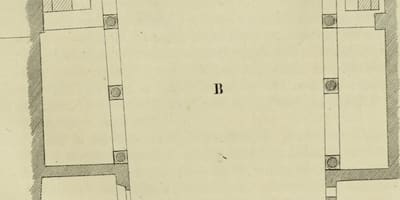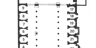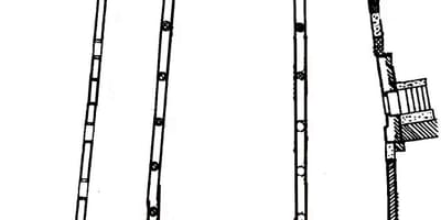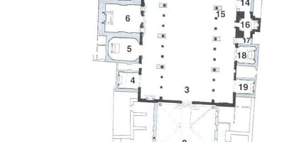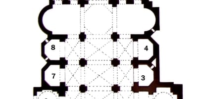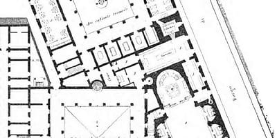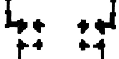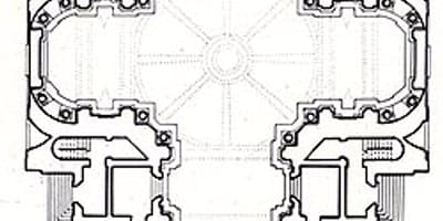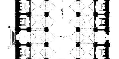
This section gathers plans of Rome's ancient monuments and of its churches and basilicas, from the Forum and the imperial baths to St. Peter's and the Lateran. Old engravings by Nolli, Piranesi and Lanciani sit alongside modern site plans.
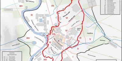
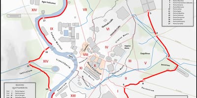
Rome's monuments are easiest to understand through plans. The sheets here cover the ancient city: the Roman Forum and the imperial fora, the palaces of the Palatine, the baths of Caracalla and Trajan, the Colosseum, theatres and circuses, and the two great circuits of defensive walls, the Servian and the Aurelian. Some sheets show the whole city divided into the fourteen regions established by Augustus in 7 BC, which gives a frame for placing each monument, while others zoom in on a single building.
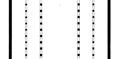
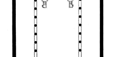
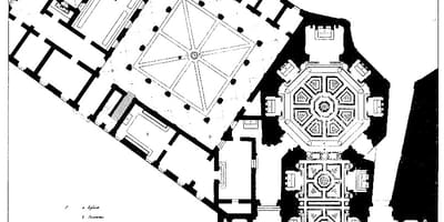
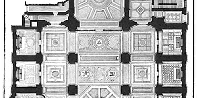
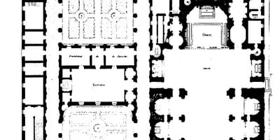
Churches and basilicas make up the other half of the section. The plans of St. Peter's include the successive schemes of Bramante, Raphael, Michelangelo and Maderno, and the Lateran, Santa Maria Maggiore and St. Paul Outside the Walls are drawn at plan level. Smaller churches such as San Carlo alle Quattro Fontane, Santi Quattro Coronati and Santa Maria Antiqua show how varied the layouts are, from compact oval forms to long aisled halls.
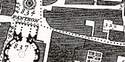
Many sheets are historical documents in their own right. Giovanni Battista Nolli's great plan of 1748, engraved on twelve copper plates, records the city street by street. Piranesi's reconstructions of the Campo Marzio include ruins such as the Porticus Octaviae, and Rodolfo Lanciani's Forma Urbis Romae, issued between 1893 and 1901, charted the archaeological discoveries of his day. Captions appear in several languages, among them Latin, Italian, French, German, Spanish and Russian.