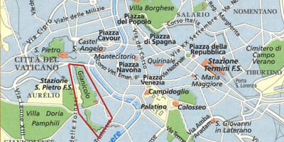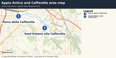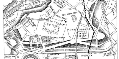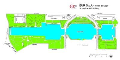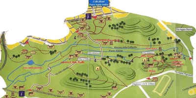
Plans and maps of the parks, historic gardens and nature reserves in and around Rome, from the Appia Antica and the Caffarella to the Pincio, EUR and Monte Mario.
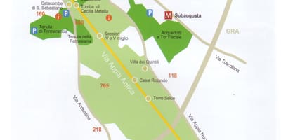
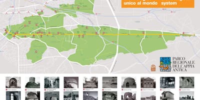
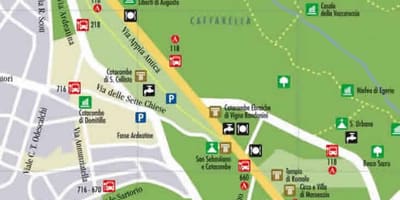
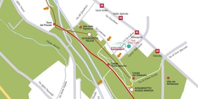
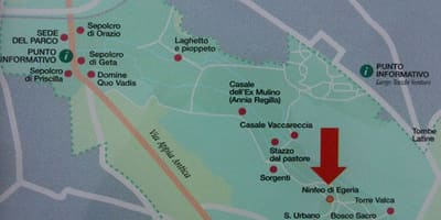
Rome's green spaces range from small historic gardens on the hills to large protected areas at the edge of the city. The largest is the Appian Way Regional Park, of about 4,580 hectares, which follows the old road for some 16 kilometres from the centre and includes the Caffarella valley, the Tombs of Via Latina and the Parco degli Acquedotti, the aqueduct park.
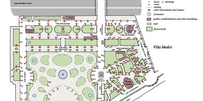
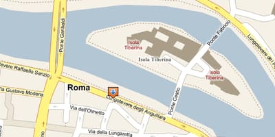
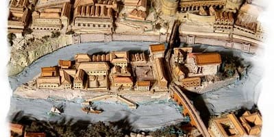
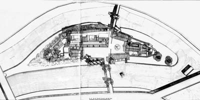
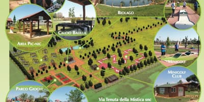
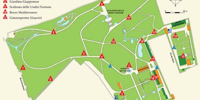
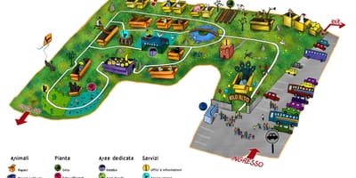
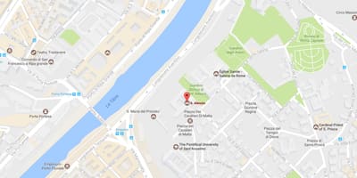
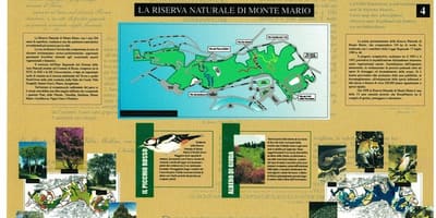
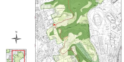
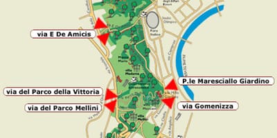
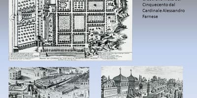
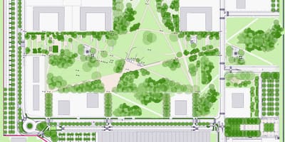
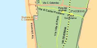
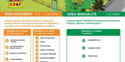
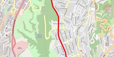
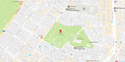
The sheets here offer trail plans, access diagrams, photographs of information boards and location maps for these places. Other pages cover the Pincio, the Colle Oppio, the Orti Farnesiani on the Palatine, the Botanical Garden, Tiber Island and the Monte Mario nature reserve. That reserve takes its name from the highest point of the Farnesina hills, 139 metres above the Tiber valley.
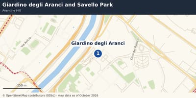
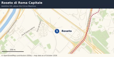
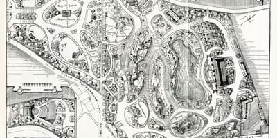
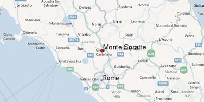
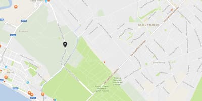
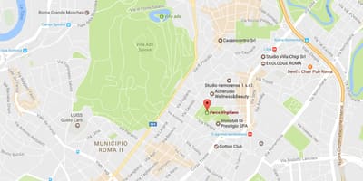
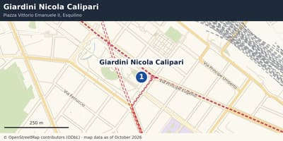
Some sheets are official plans with legends in Italian; others are online map captures that only show where a park lies. Read each caption to learn whether a sheet is a trail map, a transport diagram or a general location map before planning a visit, and remember that paths and opening arrangements can change, so check the park's own information.