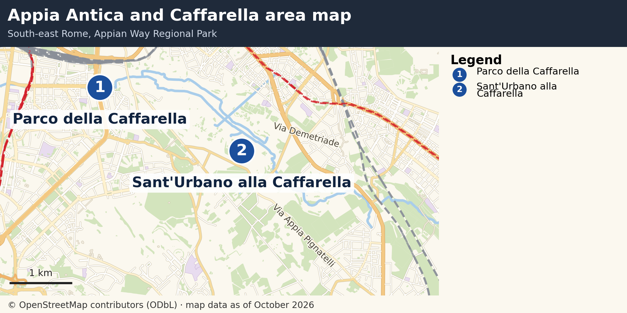
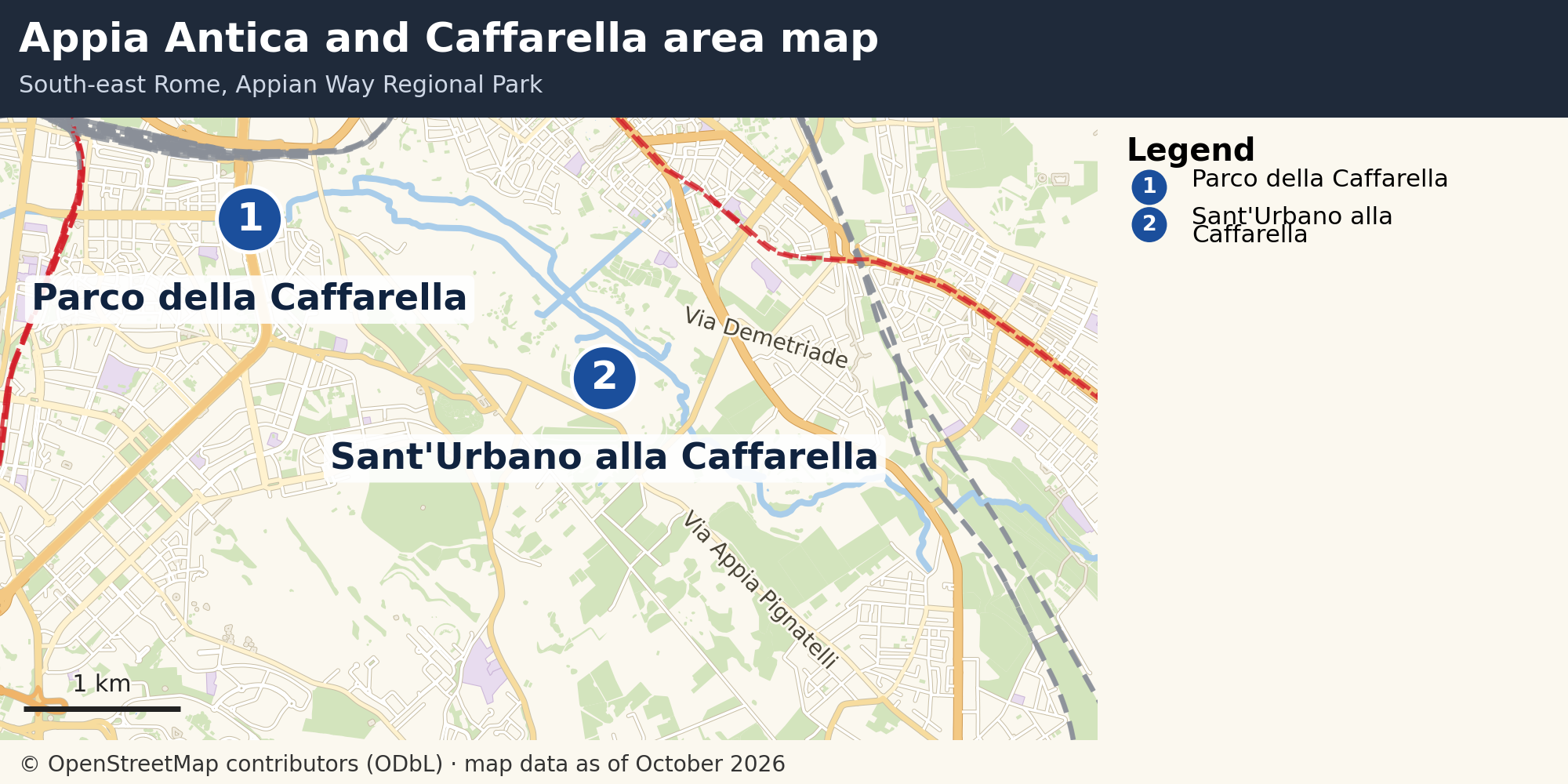
South-east Rome around the Appia Antica and the Caffarella valley, with two numbered landmarks.
Source: © OpenStreetMap contributors (ODbL)
The map covers the Appian Way Regional Park, from the Caffarella valley to the Via Appia Nuova. It is drawn from OpenStreetMap data and shows the main roads, the rail lines and the green areas, with the Parco della Caffarella and the church of Sant'Urbano marked.