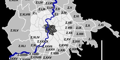
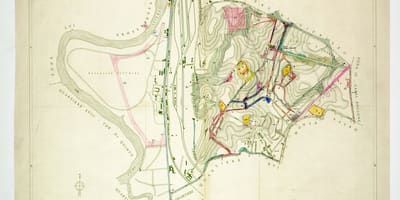
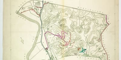
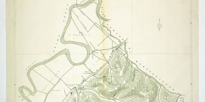
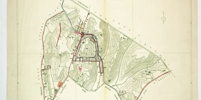
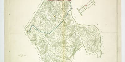
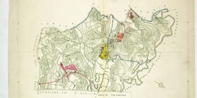
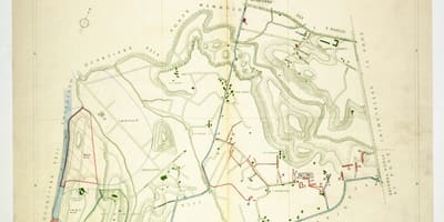
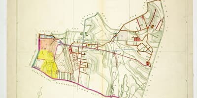
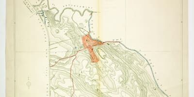
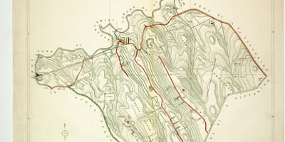
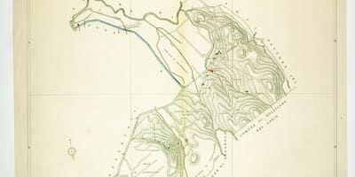
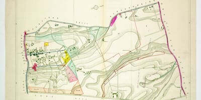
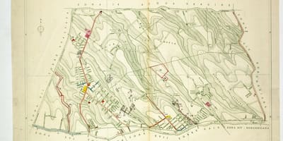
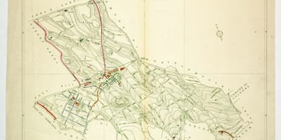
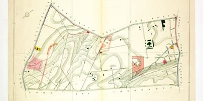
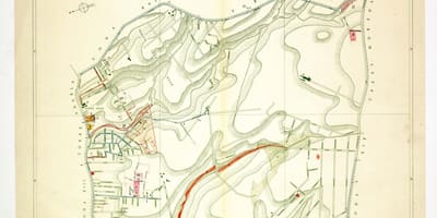
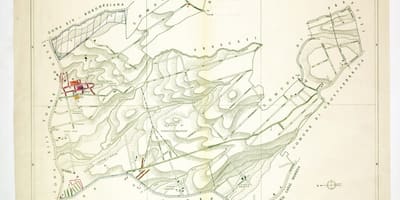
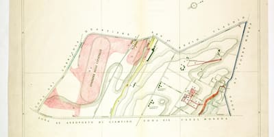
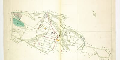
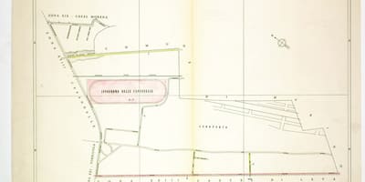
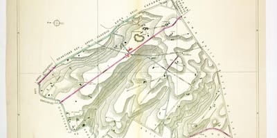
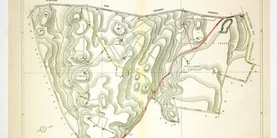
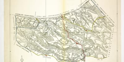
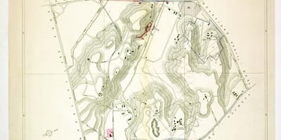
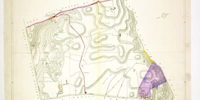
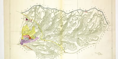
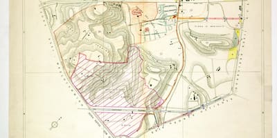
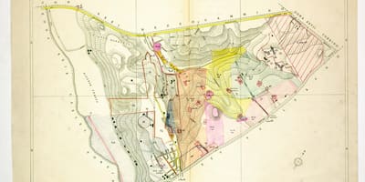
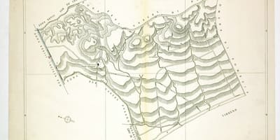
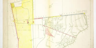
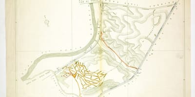
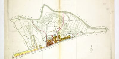
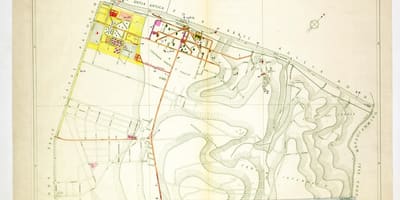
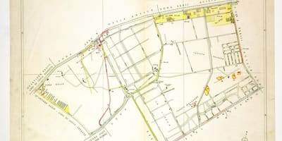
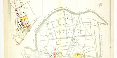
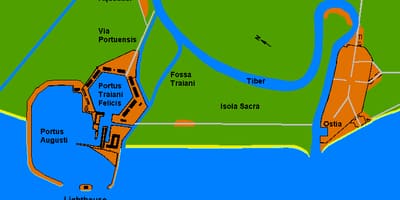
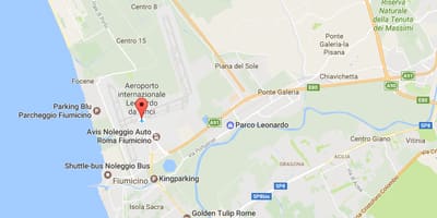
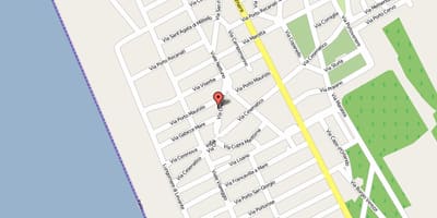
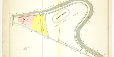
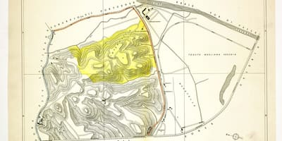
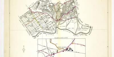
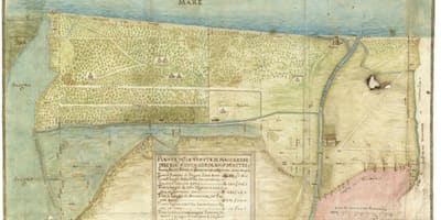
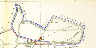
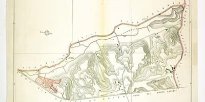
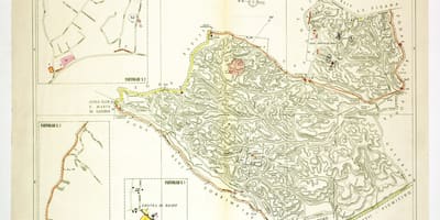
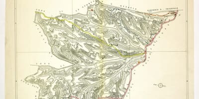
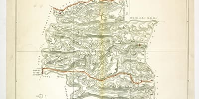
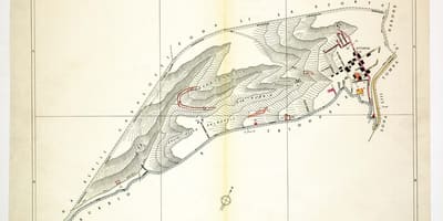
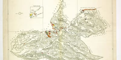
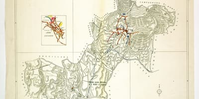
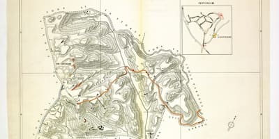
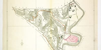
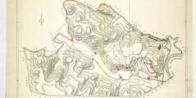
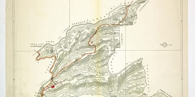
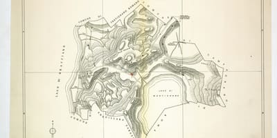
Plates of the Agro Romano, the countryside that surrounds Rome, from Val Melaina in the north to the coast at Ostia and Fregene. An index diagram shows how the 59 numbered zones fit together.
The Agro Romano is the countryside surrounding the city of Rome, a mix of plain and gentle hills that stretches out to the Tyrrhenian coast and is closely tied to the Campagna Romana. Long used for farming and grazing, it still makes up a large share of the municipal territory, and many of its place names go back to old estates.
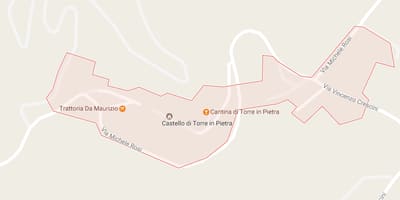
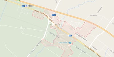
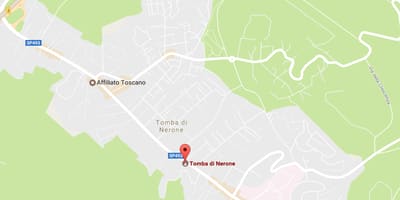
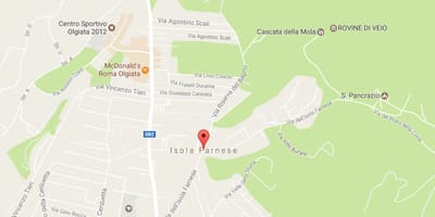
The sheets in this section follow the division of the Agro Romano into 59 zones, established by a resolution of the Commissario Straordinario on 13 September 1961 and numbered in Roman numerals, from Zone I (Val Melaina) to Zone LIX (Polline Martignano). Many of the plates are older printed sheets with relief drawn in green hatching and hand-coloured boundaries, while a few are modern map captures.
An index diagram shows how the zones are arranged around the city and the Tiber. To find a place, look up its zone on the index, then open the matching plate and compare old tracks, estate boundaries and place names with today's suburbs. Because zone limits have been adjusted since 1961, treat the borders as a guide rather than a legal reference.