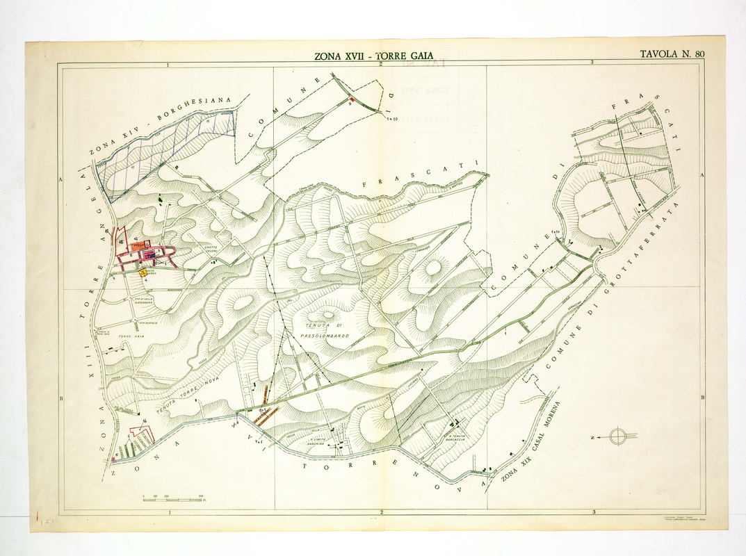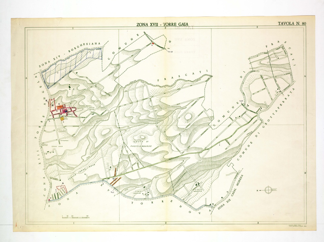
Torre Gaia is built around a small coloured village at the west edge, with Tenuta di Passolombardo filling the centre and the Frascati boundary curving round the north.
Source: Old map, public domain
A parcel hatched in blue is drawn in the north-west corner beside Borghesiana, and a long diagonal line runs east toward Grottaferrata. Tenuta Torre Nova is named along the bottom, and the Comune di Frascati borders the upper edge.