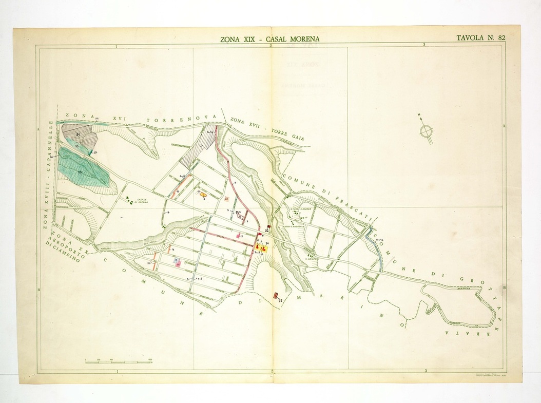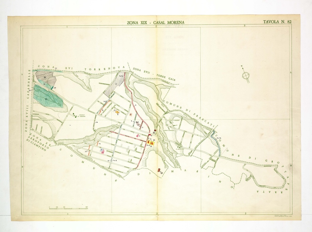
Casal Morena is laid out as a regular street grid, with the borders of Marino, Frascati and Grottaferrata curving around its south and east sides.
Source: Old map, public domain
A green wash covers the north-west corner beside Capannelle, and pink and yellow marks flag numbered buildings near the crossing roads. A long boundary runs east past a blue stream to the sheet's right edge.