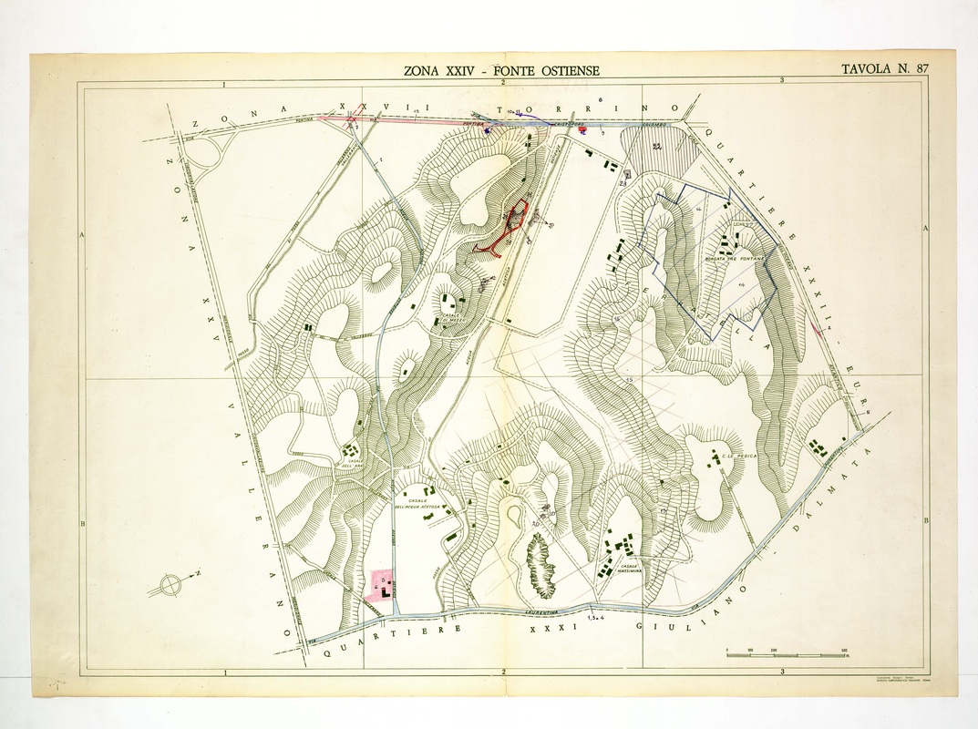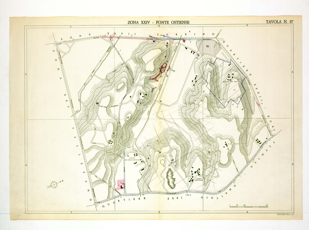
Fonte Ostiense sits between the Via Pontina at the top and the Via Laurentina at the base, with Borgata Tre Fontane and Casale dell'Acqua Acetosa marked.
Source: Old map, public domain
A red-outlined structure and a blue-bordered tract near the top centre carry hand numbers, and a pink block lies at the bottom left. Quartiere EUR appears on the right edge, with Torrino across the top.