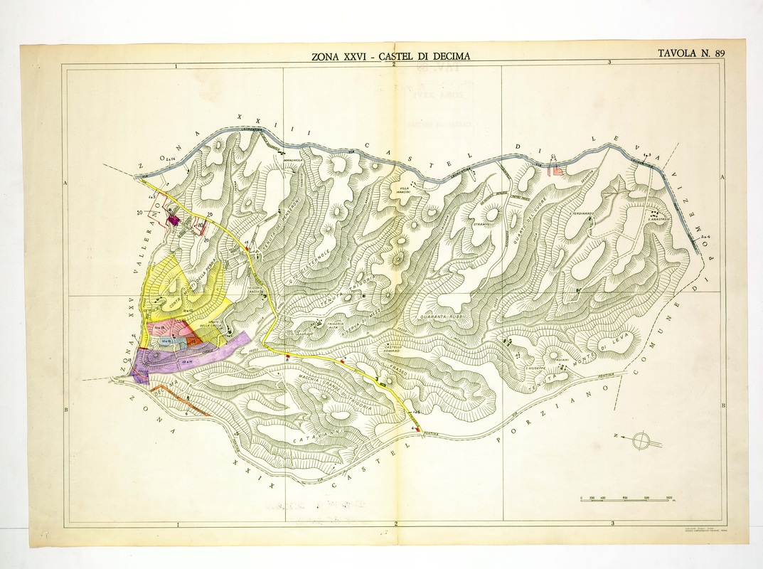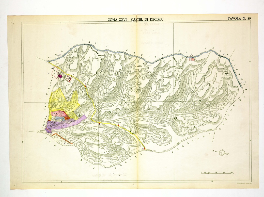
Castel di Decima is a long east-west strip of dense hills, from Villa Mancini and Tenuta Trigoria to the Castel Porziano and Pomezia boundaries.
Source: Old map, public domain
Coloured blocks in yellow, pink, purple and orange line the western end beside Vallerano, with numbered notes. A blue road follows the northern limit, a yellow road crosses diagonally, and the Via Pontina marks the south.