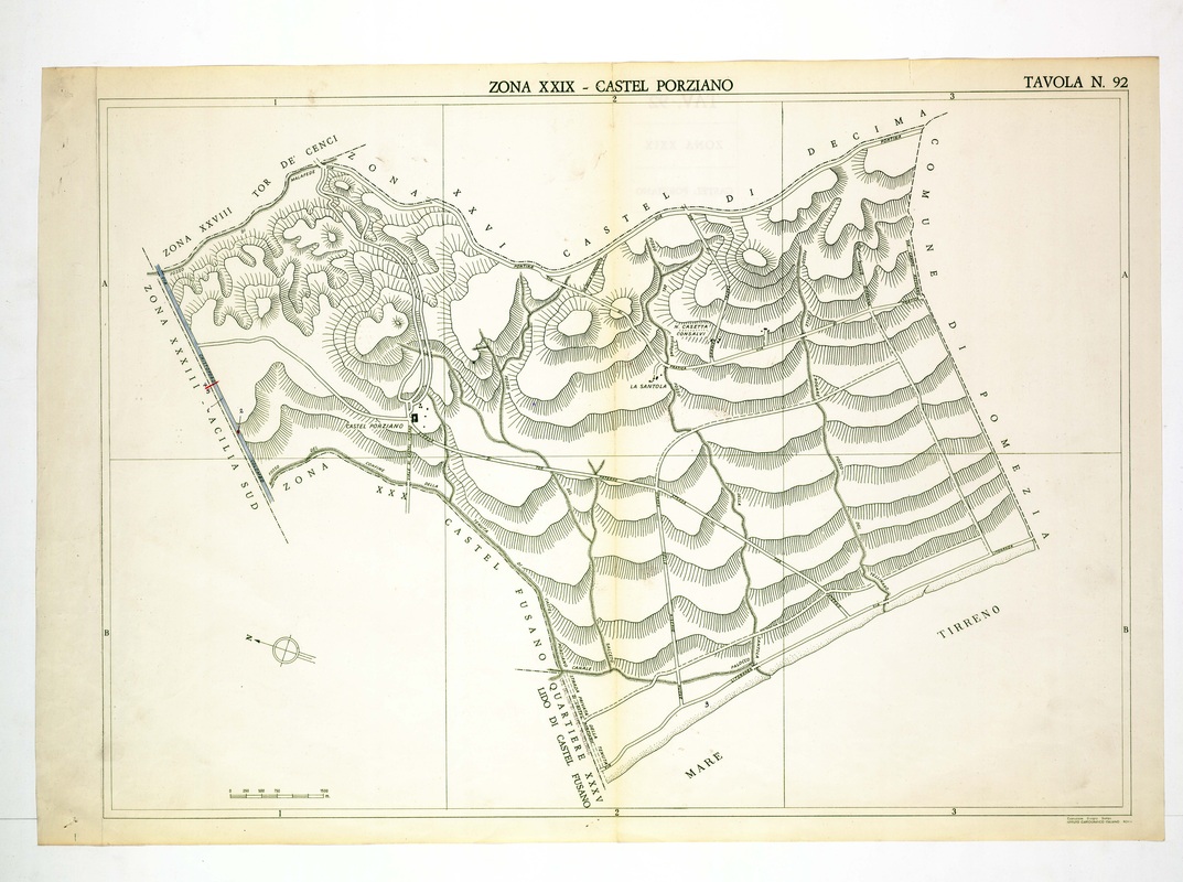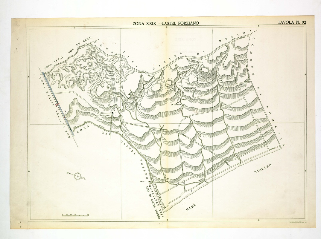
Castel Porziano is drawn almost uncoloured, with a wide field of parallel dune ridges running toward the Tyrrhenian shore and the Pomezia boundary.
Source: Old map, public domain
The Castel Porziano buildings appear on the left, La Santola and Casetta Consalvi stand in the middle, and a thin blue strip runs beside Acilia Sud. The quarter of Lido di Castel Fusano touches the bottom edge, facing the sea.