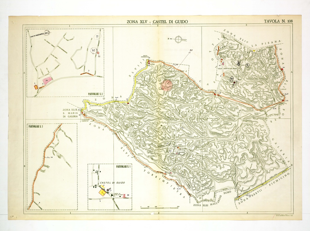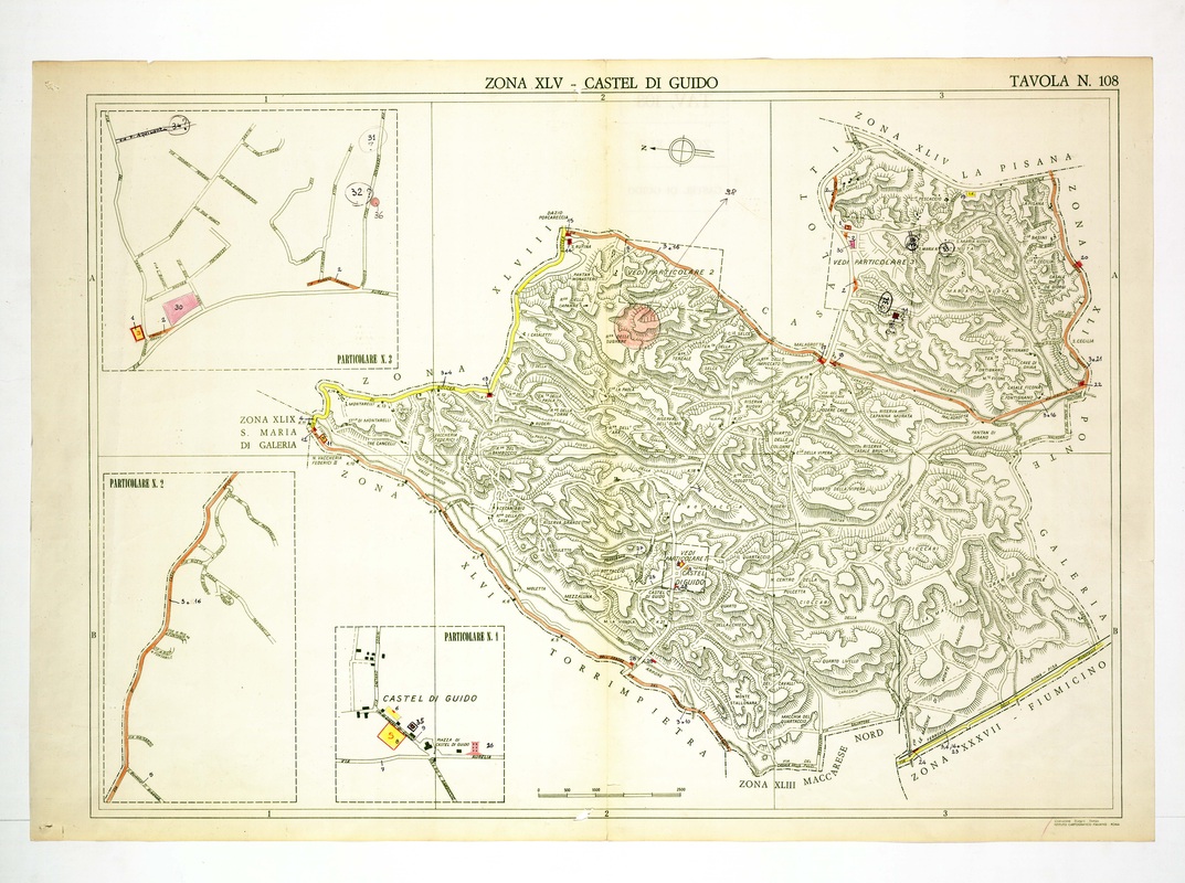
Castel di Guido fills the whole sheet with hatched woodland and carries three Particolare insets for the village, a stretch of road and a northern settlement.
A pink circle marks a point near the top centre, a yellow road leads out toward Santa Maria di Galeria, and an orange line frames the north-east. Maccarese Nord, Torrimpietra and La Pisana border it.