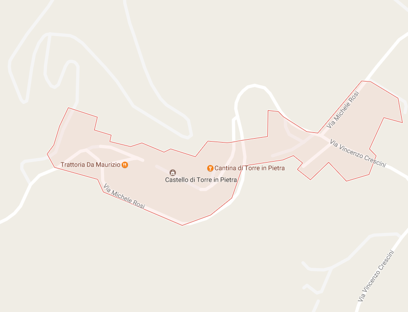
A modern online-map capture outlines the Torrimpietra perimeter in pink, with Via Michele Rosi, Via Vincenzo Crescini, the Castello di Torre in Pietra and two local businesses.
Source: © Google Maps
The elongated red outline stretches east to west along white roads, with Trattoria Da Maurizio at the west and the Cantina di Torre in Pietra near the centre. The open land around it is left blank.