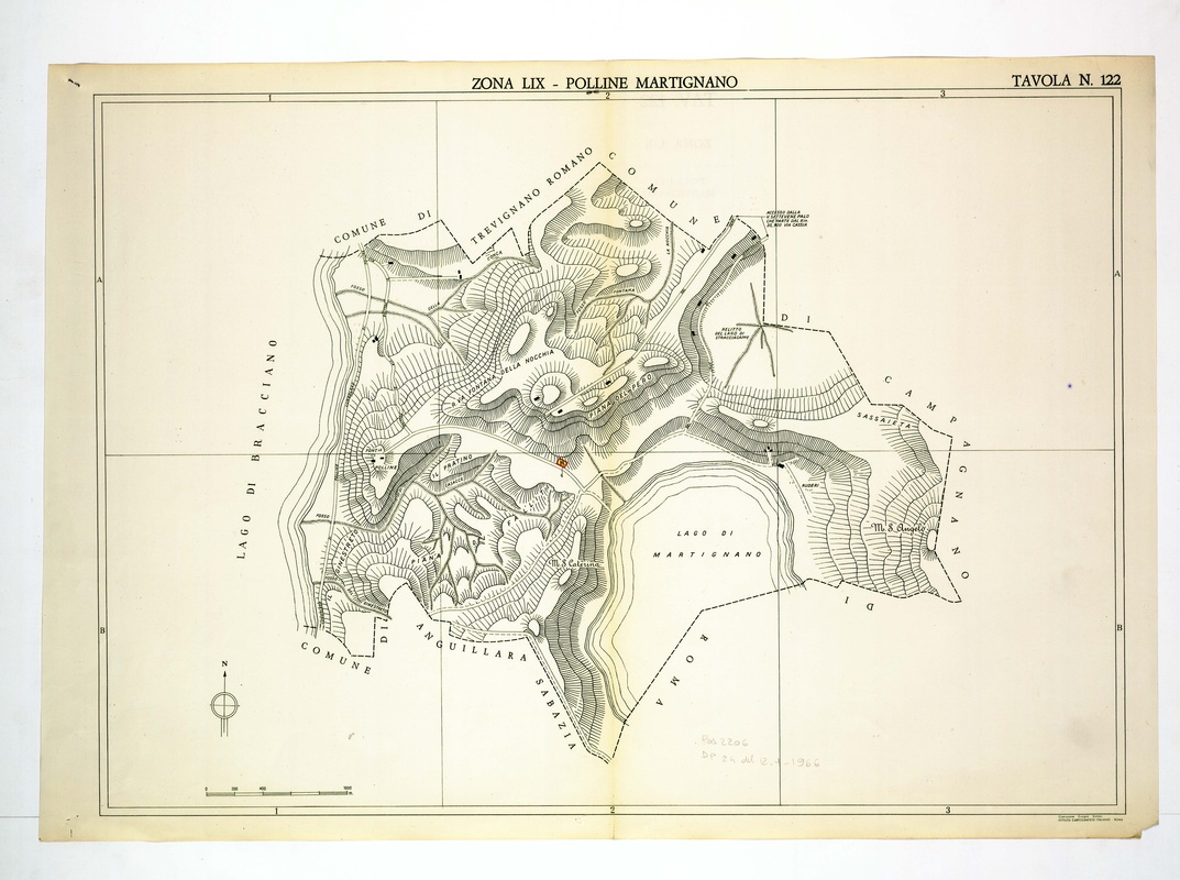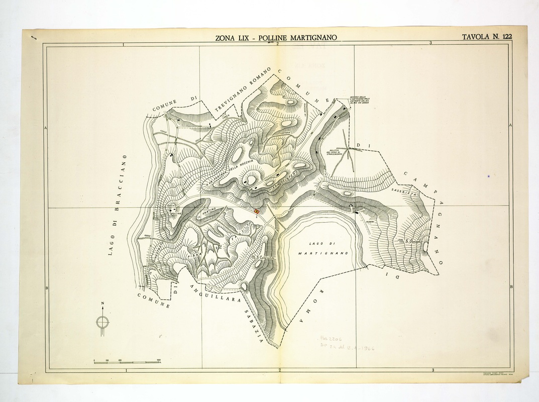
The final plate lies between Lago di Bracciano and Lago di Martignano, naming Monte S. Caterina, M. S. Angelo and La Fontana della Nocchia.
Borders with Trevignano Romano, Anguillara Sabazia and Campagnano di Roma enclose the hills. A pencilled note at the bottom right seems to read 1966, though the reading is uncertain, and a small orange mark sits near the centre.