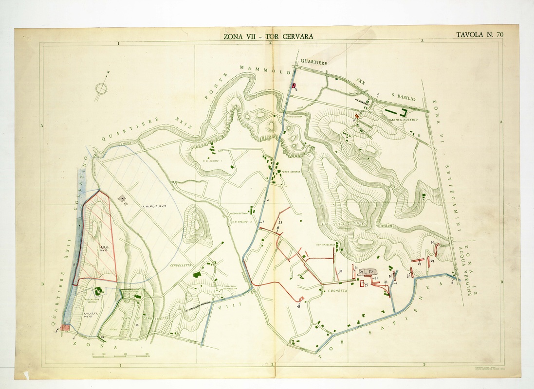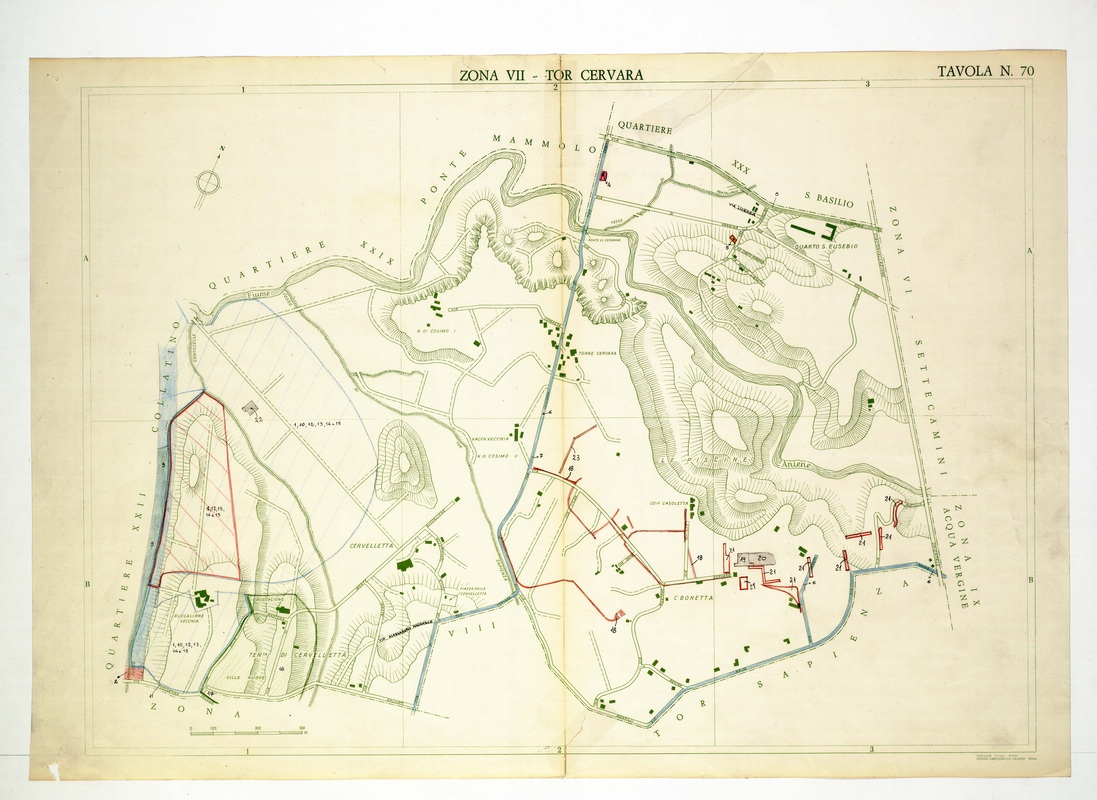
Tor Cervara is crossed from north to south by a blue road leaving Ponte Mammolo, with Cervelletta in the south-west and the Aniene along the upper left.
Source: Old map, public domain
A red-hatched parcel lies near the Collatino edge, while red lines in the south-east link numbered points near C. Bonetta. Ridges around Le Piscine contrast with the open plain left of the road.