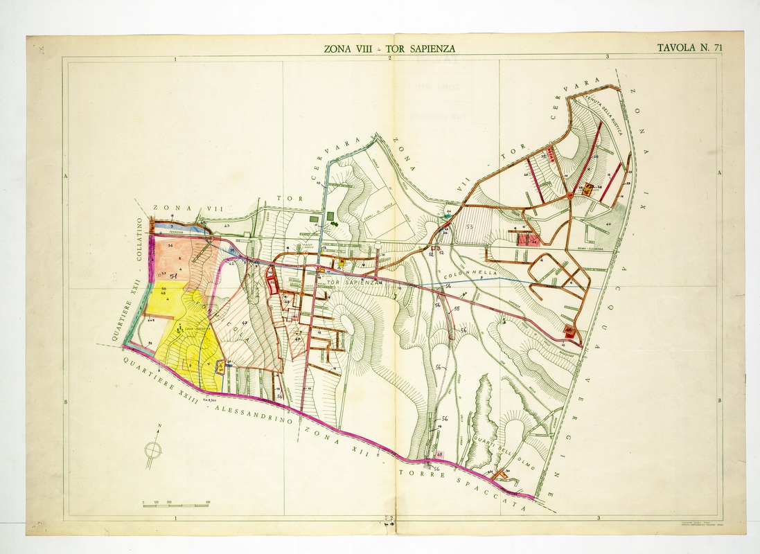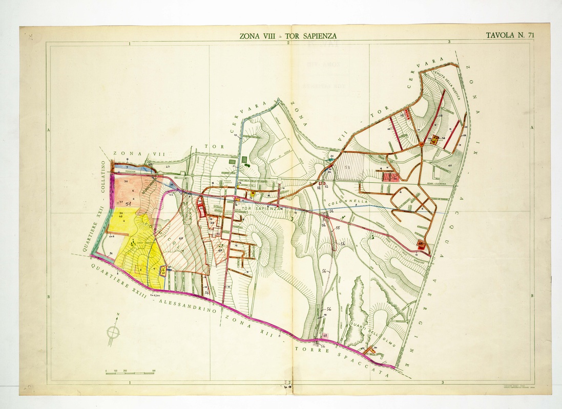
Tor Sapienza is drawn as a street network around a railway line, with Colonnella to the east and Quarti dell'Olmo in the south, framed by purple boundaries.
Source: Old map, public domain
Yellow, orange and pink washes cover the western parcels beside Collatino, and brown-outlined streets fill the north-east toward Tenuta della Rustica. A curved purple line along the base divides it from Torre Spaccata and Quartiere Alessandrino.