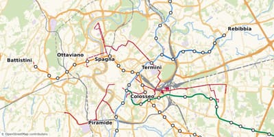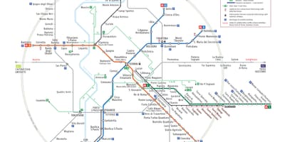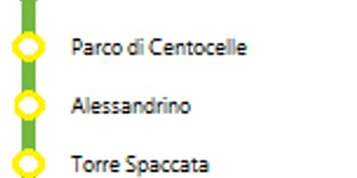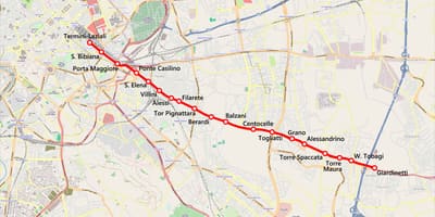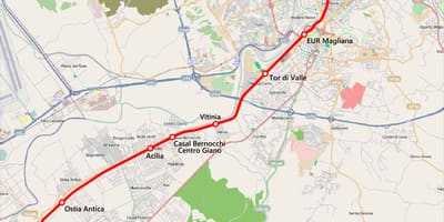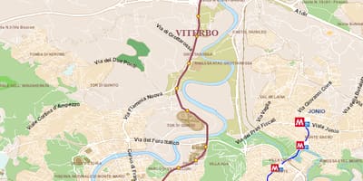
Rome's underground network is small compared with other European capitals, so a single diagram can show all of it. These maps cover each metro line and the old suburban railways that complement it.
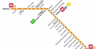
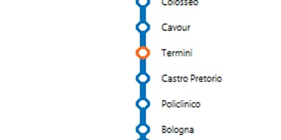
Rome's metro has three lines, A, B and C, and line B has a branch, B1. Line A links Battistini in the north-west with Anagnina in the south-east, while line B links Laurentina with Rebibbia, and the two lines cross at Termini. The B1 branch leaves line B at Piazza Bologna and, since an extension opened in 2015, ends at Jonio. Diagrams of the individual lines show every station in order.
Line C is the youngest and is still being extended towards the centre. According to ATAC and the press, the Porta Metronia and Colosseo/Fori Imperiali stations opened on 7 September 2026, which created a new interchange with line B at the Colosseum. Some diagrams on this page were drawn earlier and may show the line as it stood before that date, or as planned.
Three railways run alongside the metro and are mapped separately here. The Roma-Lido runs towards the coast, the Roma-Giardinetti starts near Termini and heads east, and the Roma-Viterbo leaves from Piazzale Flaminio. The Giardinetti line has had its service suspended since a collision in March 2026, so check current operations with the operator before relying on its map for a journey.